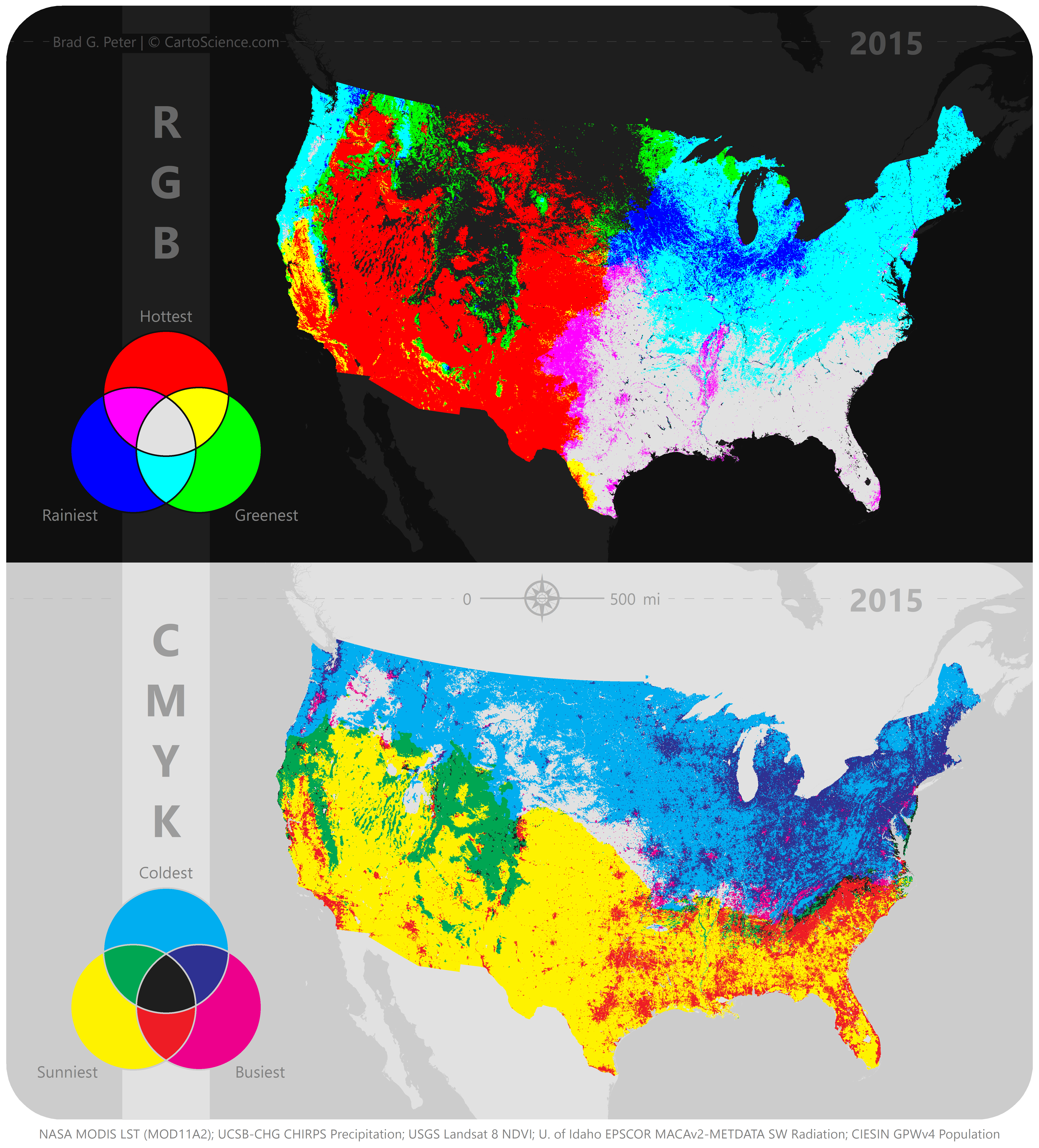
Map design is an important part of communicating geographic phenomena. EGCL strives to produce scientific maps that are informative, aesthetic, and follow fundamental cartographic principles, such as color theory and layer hierarchy. We also make products that are interactive (see our Applications page) and continually updatable, when possible.
Below is an interactive color picking tool that lets you preview color blends for county-scale data across the contiguous U.S., specifically for bivariate choropleth maps. What is Delta E? It’s a metric used to quantify the difference (or perceived contrast) between two colors.